The dominant land use of the Vecht river basin is arable land and grassland (up to 80%). Larger build-up areas are Gronau and Nordhorn in Germany and Hardenberg, Ommen, Almelo, Enschede and Zwolle in the Netherlands.
The main tributaries of the Vecht are the Dinkel and the Steinfurter Aa.
The Dinkel is a typical sandy lowland river that originates in North Rhine-Westphalia. After 38 km, the Dinkel enters the Netherlands and flows for 43 km into the Netherlands and then back into Germany in Lower Saxony.
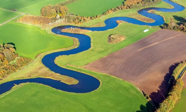
From 2009, measures have been implemented to restore towards a more natural Overijsselse Vecht system and there are plans to transform it back into a semi-natural river system. Wetlands are mainly situated in the border region and efforts in both countries have been and are made to restore them.
4.400
Square kilometers
70 m
Height difference
10%
Urban area
800.000
Buildings
Upcoming research:
Planned research for the Vechte river basin within JCAR ATRACE will currently focus on the joint development of a transnational stresstest, modelling potential impact of nature-based solutions on high and low flows (more info), evaluating early warning systems (more info) and assessment of the adaptability of governance structures to weather extremes in the border region.
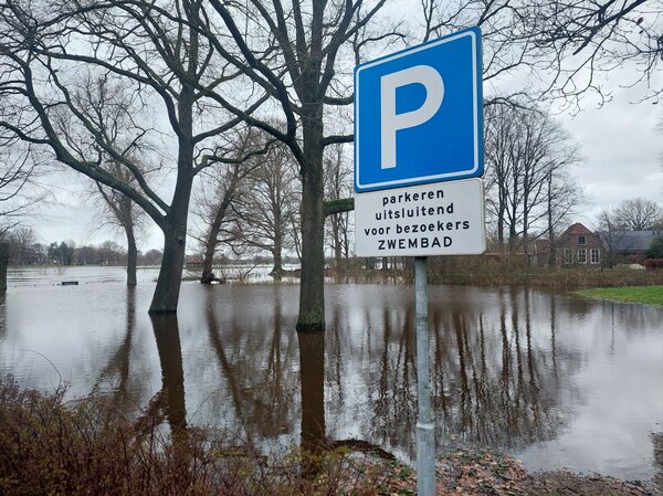
Publications in this basin
The effects of nature-based solutions on high- and low flows in the Vecht river basin
Adaptive Water Governance: Responding to Flood and Drought Events in the Dutch Vecht Basin
Evaluation of ensemble flood forecast performance by using a semi-distributed multimodel approach compared to single models
The effects of nature-based solutions on high and low flows in the Vecht using hydrological model Wflow sbm
Scoping Study of the Vechte, Berkel and Oude IJssel river basins
