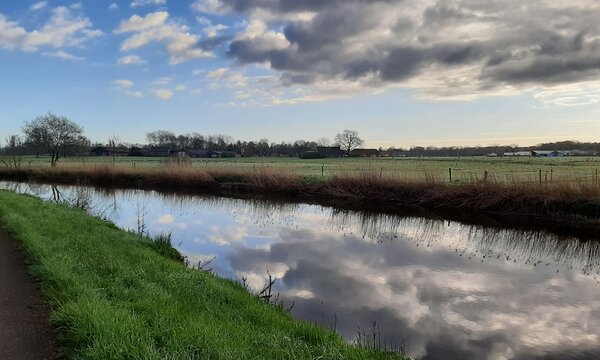
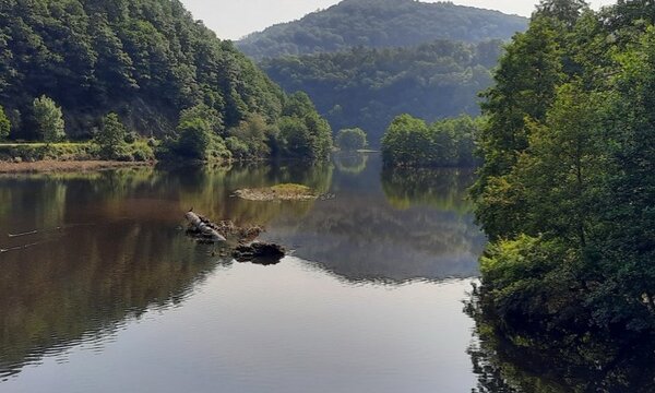
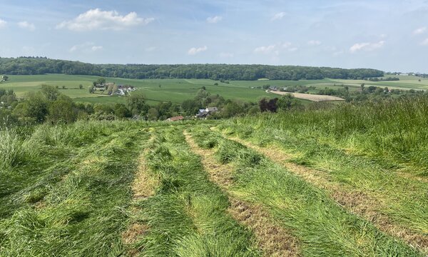
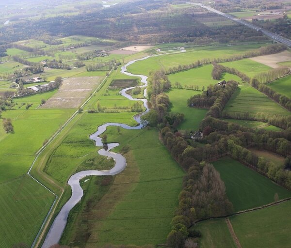
The Dommel rises on the Kempisch Plateau at Peer and flows northwards. The watercourse was straightened and regraded over a large length. Via Overpelt and Neerpelt, the Dommel flows into the Netherlands where it drains into the Meuse via Eindhoven and Boxtel at 's Hertogenbosch. Discharges and water levels are measured at Overpelt, Peer and 'Station P01 Dommel'.
The Tongelreep also originates on the Kempish plateau in Belgium as Warmbeek. At three points, the Tongelreep is fed by Maas water brought in via the Bocholt-Herentalskanaal. The Tongelreep drains into the Dommel near Eindhoven.The Tongelreep has retained its original course over much of its length. Discharge and water level data are collected at Ackel and 'Station P03'.
2.850
Square kilometers
80 m
Height difference
17%
Urban area
1.000.000
Buildings
Upcoming research:
For the Dommel river basin, a joint transnational stresstest will be probably developed and tested from 2025 onwards. With a stresstest, we try to investigate the resilience of the water systems for extreme weather conditions and identify which measures may be considered to become better prepared for these extreme floods and droughts. Read more details about the development of a transnational stresstest approach for Flanders-Netherlands in our magazine.
Publications in this basin
What-if simulation in Flanders with precipitation July 2021 (Dutch)

Resilient Waterland - Weerbaar Waterland (Dutch)
Advice on droughts Brabant: Zonder water, geen later (Dutch)
Scoping Cross-Border Stress Test for Flemish-Dutch Streams (report in Dutch)
